Air Quality, Heat, and the Importance of Hyperlocal Data in the Climate Justice Fight
October 24, 2024

Read a recap of this conversation and watch the video of this event here.
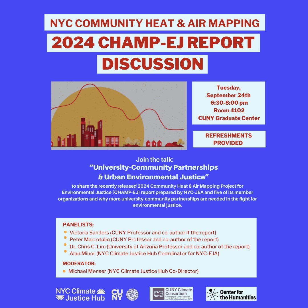
The NYC Climate Justice Hub sponsored a conversation on Tuesday, September 24th, centered on the Community Heat and Air Mapping Project for Environmental Justice (CHAMP EJ) report, prepared by the New York City Environmental Justice Alliance (NYC-EJA) and five of its member organizations.
Moderated by Dr. Michael Menser, NYC Climate Justice Hub Co-Director, the event gathered Alan Minor, Hub Coordinator for NYC-EJA; and the co-authors of the report: Victoria Sanders, Climate and Health Programs Manager at NYC-EJA; Dr. Peter Marcotullio, Professor of Geography at Hunter College; and Dr. Chris Lim, Professor at University of Arizona.
At the beginning of the session, Alan Minor explained how the Hub and its workstreams are illustrative of university-community partnerships. For example, through the Hub’s Classes & Curriculum initiative, NYC-EJA is trying to match the communities’ needs with CUNY classes and to integrate the NYC-EJA community organizations’ work into CUNY curricula. “The reports from the organizations are going to be in the curricula or syllabi of the Hub’s participating classes,” Minor said.
Then, researchers discussed how powerful collaboration can be when the research agenda is set by community priorities. Dr. Chris Lim started investigating NYC air quality while studying for his PhD, and Dr. Peter Marcotullio was already interested in heat research when he got connected with NYC-EJA. “What was really great is that NYC-EJA had the agenda. They needed somebody to help them, so we talked about it and worked it out,” he said.
Victoria Sanders explained that the report focused on urban heat and air pollution because “These are really big issues for environmental justice communities and a health burden.” Over 350 people in NYC alone die from extreme heat every year, and air pollution caused by PM2.5 particles is linked to 2,000 premature deaths in NYC annually. Additionally, heat and air pollution are compounding risk factors, which means that air pollution tends to be even worse when it is hot.
However, hyperlocal data on this important environmental issue is lacking. “We have data from the government, large organizations about what is happening in the region, but not about what people are experiencing on the ground in their neighborhoods in real time, and oftentimes that is very different from what we are seeing from those entities,” Sanders said.
“That is the point, to better understand what is happening in these communities, so we can make sure their needs are being met as we work towards new policies, new programs, and relieve them of the environmental burden they are experiencing,” she added.
Sanders warned that the heat burden is expected to increase. She detailed that the most recent NYC Panel on Climate Change Report estimates that 90°+ F days will quadruple in NYC by 2050, and the number of heat waves is expected to double or triple by 2050.
“We want to make sure we are responding to that in real-time and, hopefully, before it gets really bad,” Sanders said.
Green areas and heat
Dr. Peter Marcotulio explained during the event that the report’s authors assessed the city’s green space and used data from the NYC Department of Health, which says a community experiences health benefits when there is at least 32% vegetative cover.
They found that 91% of the 5 NYC-EJA communities included in the study and 86% of NYC disadvantaged communities (a measure that excluded the 5 relevant NYC-EJA communities) had less than 32% of green coverage in their areas.
They matched the green data with the heat data (based on air temperature, not land temperature) of different areas of NYC and noticed that the forested areas registered the biggest temperature drops throughout the day.
“Urban heat island (UHI) effect is the city’s ability to retain the heat. What happens in the parks is that they get hot, and then they cool down really quickly. Parks were always the coolest areas,” Dr. Marcotulio said.
They found that “neighborhoods with large impervious areas (streets and parking lots) tend to retain excess heat, whereas areas with greater vegetation tend to cool more overnight, lowering the risk of adverse health effects,” according to Dr. Marcotulio.
Air quality
For the air quality analysis, Dr. Chris Lim explained that the report’s authors used AirBeam3 sensors in five routes and fixed locations, one for each of the five NYC-EJA member communities included in the study. The researchers found the highest average of PM2.5 exposure in Hunts Point, in the Bronx, and detected PM2.5 concentrations up to 18x and 49x higher (for route measurements and fixed measurements, respectively) than the nearest government-run monitors that report hourly values.
“This highlights why we want to do this hyperlocal analysis. We see such a different picture when we look at the air from this level compared to what the government collects. That is useful but doesn’t tell us the whole story,” said Victoria Sanders.
The discussion ended with recommendations drawn from the findings of the report, such as expanding green infrastructure and vegetation, transitioning to renewable energy by shutting down peaker power plants and decarbonizing NYC buildings, expanding public transportation, and electrifying the transit system.
To learn more, watch the video recording of the event here!